Services
BER's central axis is the offer of technical services related to geomatics and topography with the use of drones in the wide range of application sectors of these disciplines and technology.
In addition, we combine our experience in the audiovisual world to get the most out of your properties and productions.

Training & examination
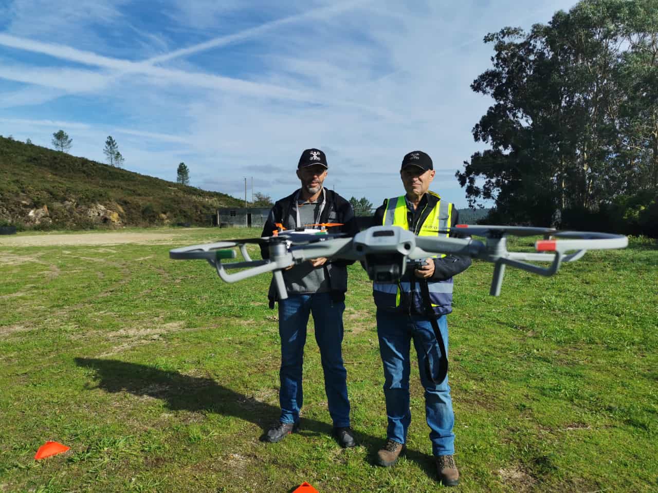
Practical certification exam of the national standard scenarios STS-ES-01 and STS-ES-02, also self-practices for the scenario certificate A2.

Photogrammetry
Performing 2D or 3D models of the terrain, buildings, and objects in the area.
For surveying, mapping, and monitoring of construction sites, agriculture, and environmental conservation.

Inspections
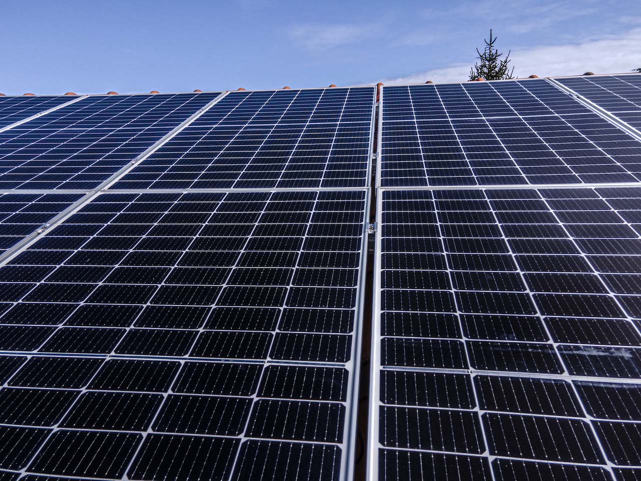
Monitoring and inspecting critical infrastructure, buildings, roofs, and other structures for maintenance and repairs.
Inspecting hazardous areas such as oil and gas installations or disaster zones for safety and security purposes.

Precision agriculture
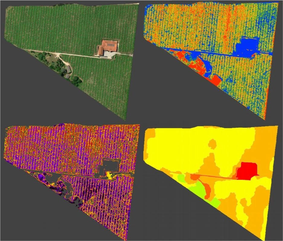
Collecting & analisyng high-resolution data and imagery of crops, soil, and other farmland characteristics. Createíng detailed maps and models of the farm, allowing you to make informed decisions about planting, fertilising, watering, and harvesting.
Helping you increase efficiency, reduce costs, and improve environmental sustainability.

Real Estate
High-resolution photos and videos of properties from unique angles, providing potential buyers with a more comprehensive view of the property.
We can also create 3D models and virtual tours of properties, which can enhance the buying experience for remote buyers.

Audiovisual
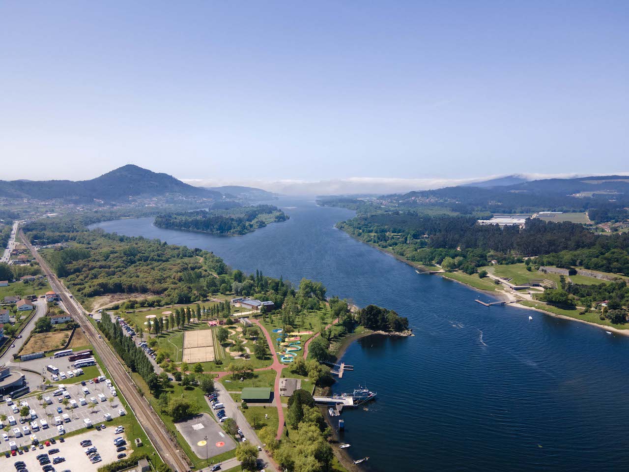
Aerial footage and images for films, commercials, and other productions.
High-quality cameras can capture stunning panoramic views, dynamic tracking shots, and capture live events and performances from unique angles, providing audiences with a more immersive experience.